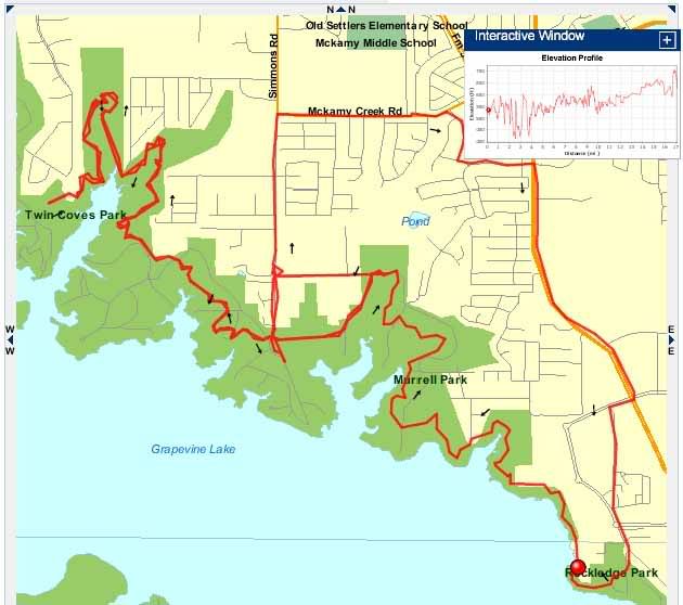
Street
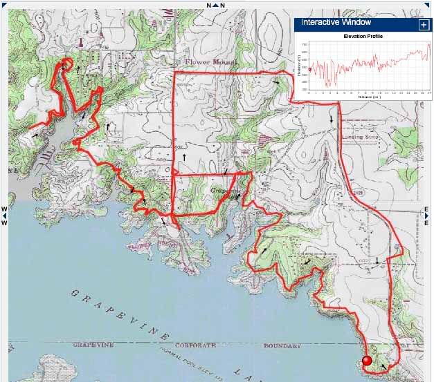
Topo
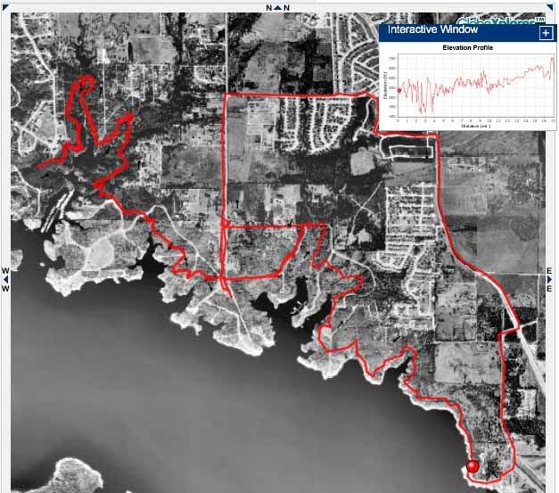
Photo
Elevation
Basemap (?)
Satellite
Contour
It will show you elevation profiles. It will tell you total elevation gain and loss, highest and lowest elevations, temperature, speed, splits, etc., etc., etc. It will even let you replay your entire run/walk and will show you your movement both on a map and an elevation profile. It is incredible, and the vast majority of the features are FREE!
Here are a couple of maps of my urban adventure yesterday. First, street:
Next, photo:
Finally, topo:
I can't believe all of the information that is available, and it is mostly free. If you use Garmin, you've got to check it out.